
Roman Road Between the Two Rennes
Yes, a Roman road connects them!

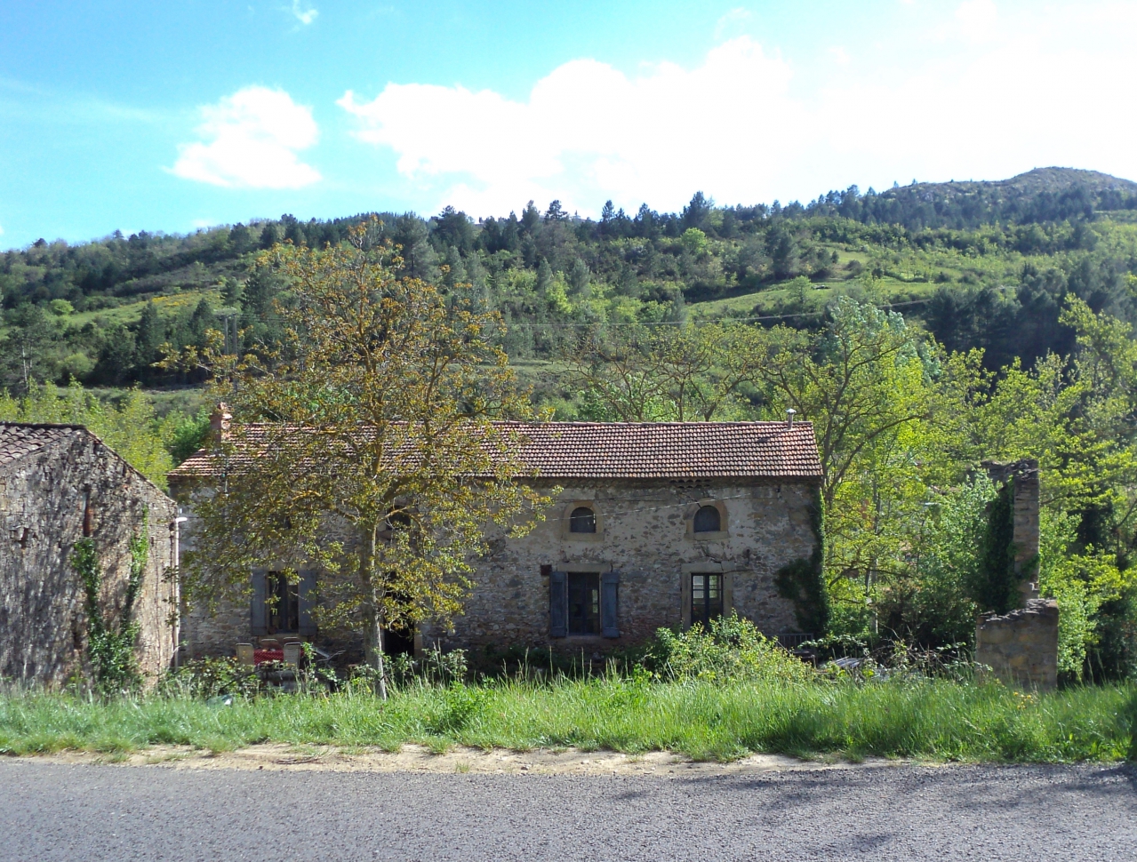
Mill about a kilometre outside Couiza on the D613, seen from the south bank of the Sals. It was once a woollen mill as the old industry for the village was sheep and their wool, which then went to make hats at Esperaza, from medieval days until after the last World War.
The Roman road from Carcassonne to Quillan, now the D118, passes through Couiza, which was an important junction in Celtic and in Roman times, where markets were held beside the river and trading was done from miles around, especially as the River Aude was used for carrying goods. Coins have been found there from as far away as Spain and Greece. The road was a little inland to avoid floods, the archeologists tell us, and crossed the River Sals a little upstream from the place where the modern bridge on the D118 is constructed. In Celtic and Roman times this upstream crossing was a ford. The local Roman historian, Guy Rancoule, says the town developed beside "this place where was originally a Celtic ford" across the river.
After crossing the river, the Romans turned left and continued to Rennes-les-Bains - Aquae Calidae - travelling along the south side of the river Sals, not the north, as does today's main road. There are remains of this south-of-the-river road all the way - six kilometres - to the junction just two kilometres to the north of Rennes-les-Bains. Roman remains, amphores and pottery, the archeologists tell us, have been found all along here. Parts of the road remain as farmer's tracks and are marked on the map. And so I set out to see if it could be walked from Couiza.
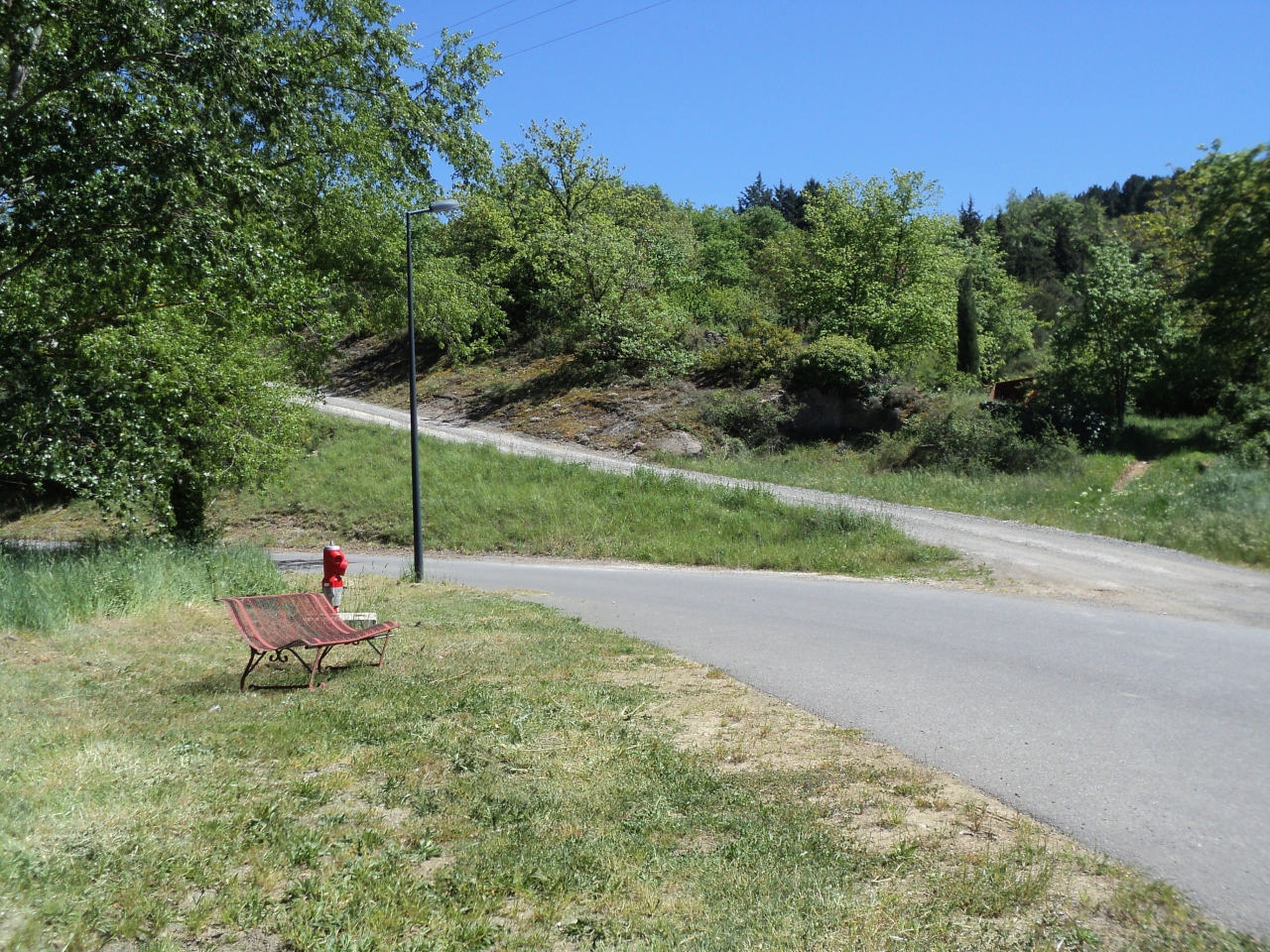
I took the road from the bar, Café St. Anne, past the school on the right, to the bridge and then continued with the river Sals on my left. This river, unlike the Aude, was never navigable, due to the many rocks it flows over.
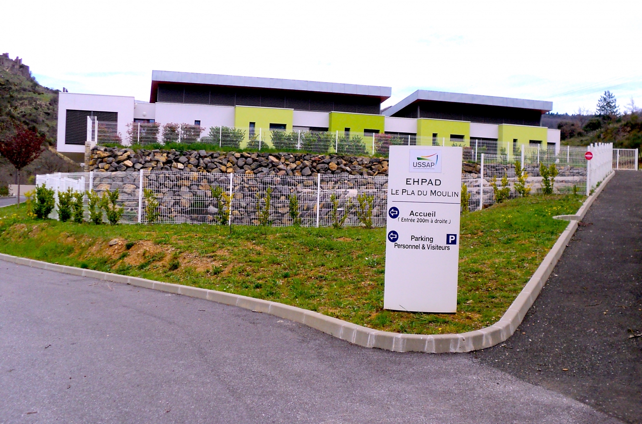
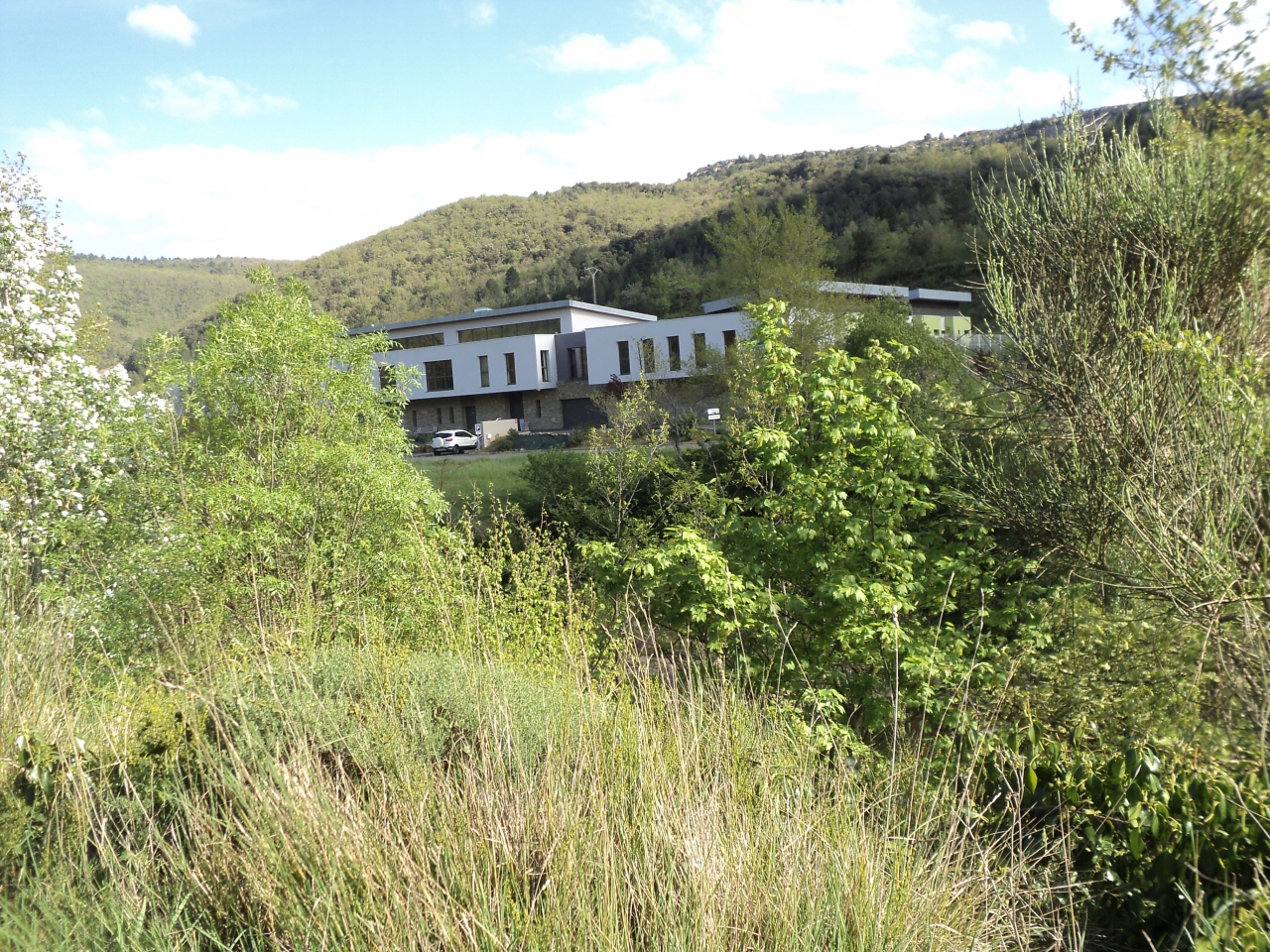
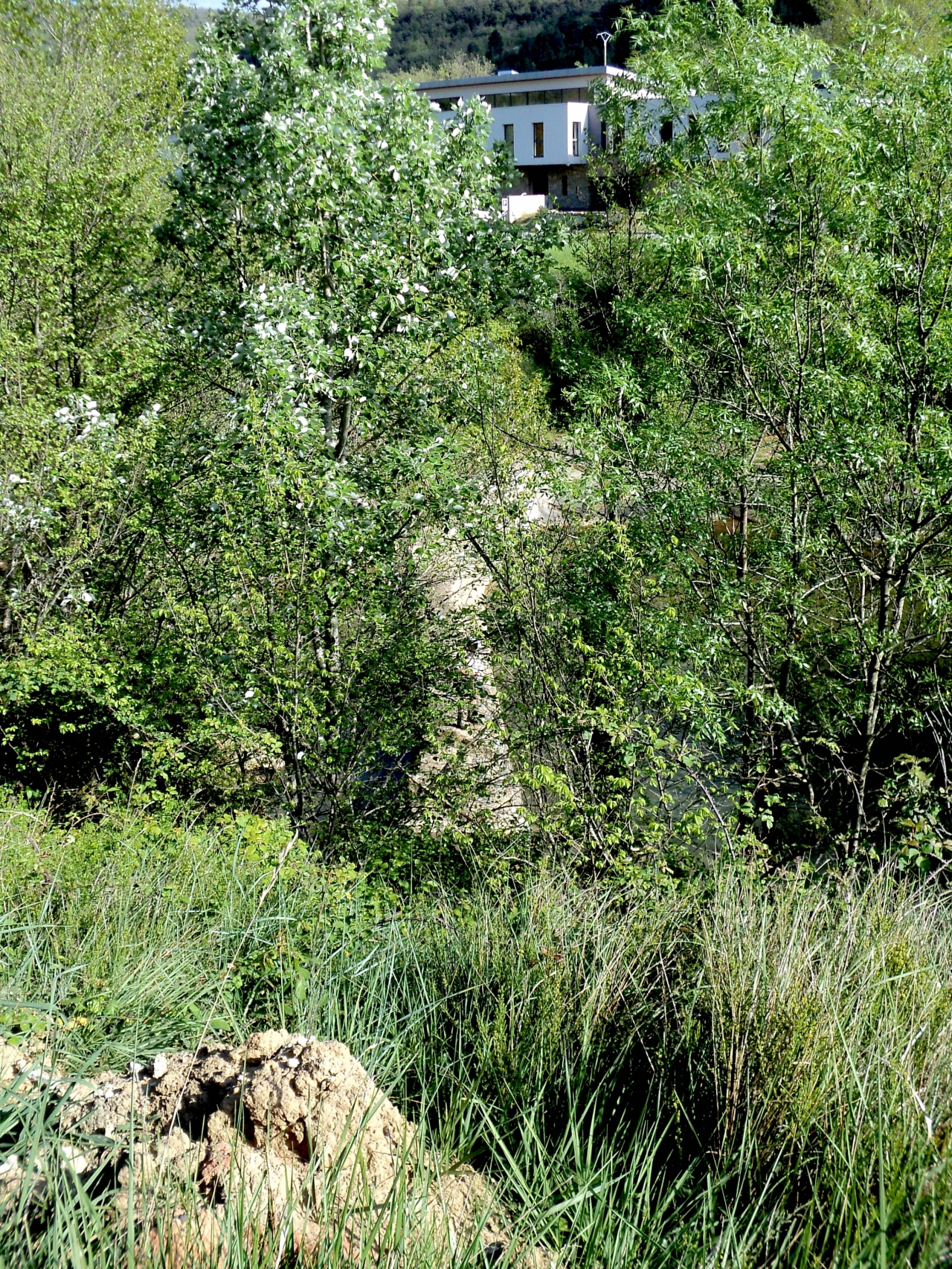
The first part of the road is tarmaced and I saw on the map a place marked "Le Pla du Moulin" but when I got there it was a municipal building! It must have been built there since 2009, the date of the map, because it wasn't marked. I heard later that it is an old folks' home. You can just see Coustaussa on the left, and directly opposite there was a mill-race on the river.

Could that stone construction of the left of the structure have been Roman in origin? It certainly looks like it. Now the road becomes just a track but you have magnificent views of Coustaussa across the river. I must add here that many think that a road is something with tarmac on. The major Roman roads, the "trunk roads" of the day, were paved with stone slabs, but many others were routes across the countryside, often old Celtic tracks on which the maximum maintenance might have been logs of wood sank into the earth where the road got too wet or muddy.
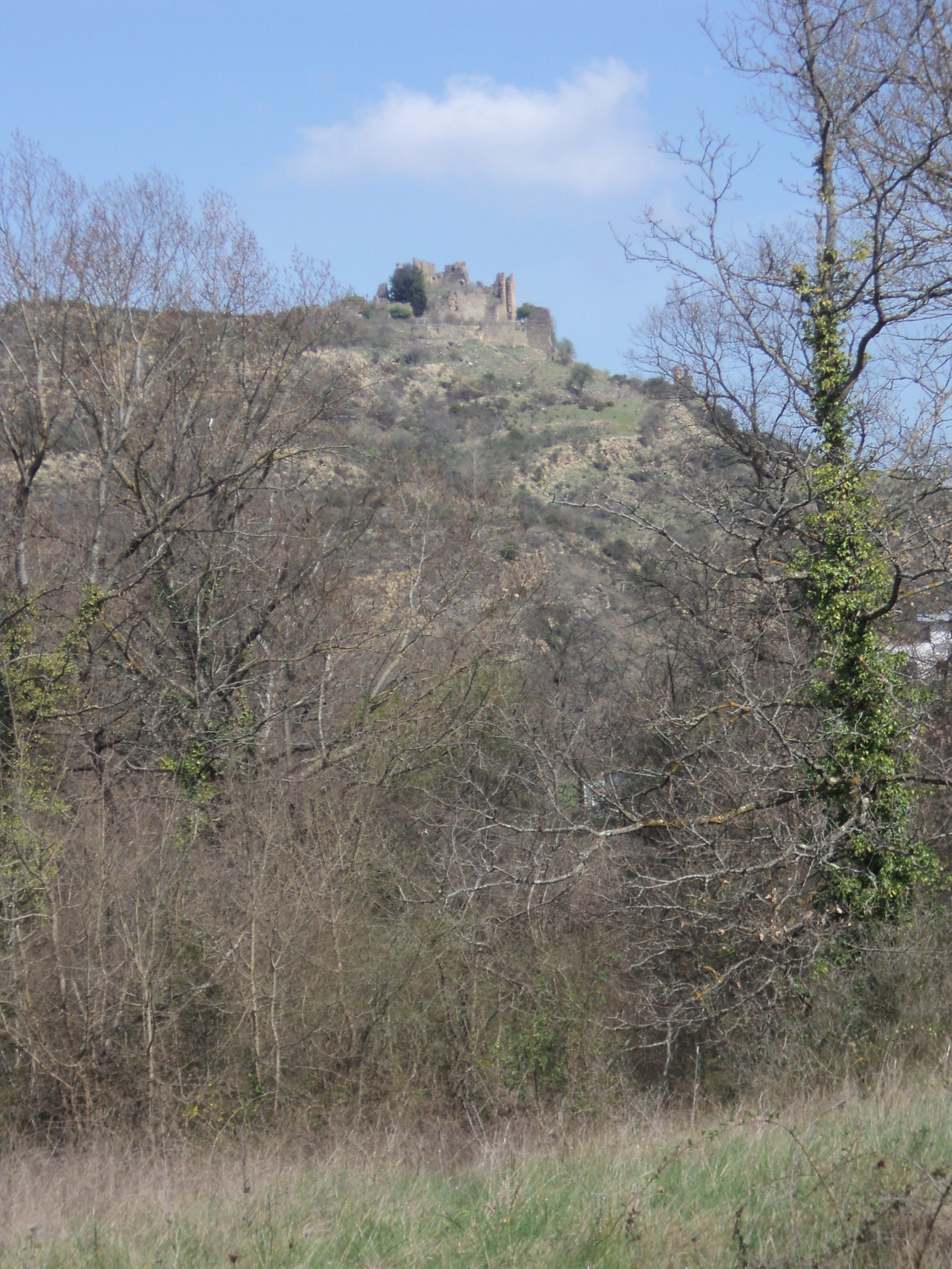
Coustaussa - a more important part of this region that people think. It existed in Roman days as Custodia - meaning, guardian.
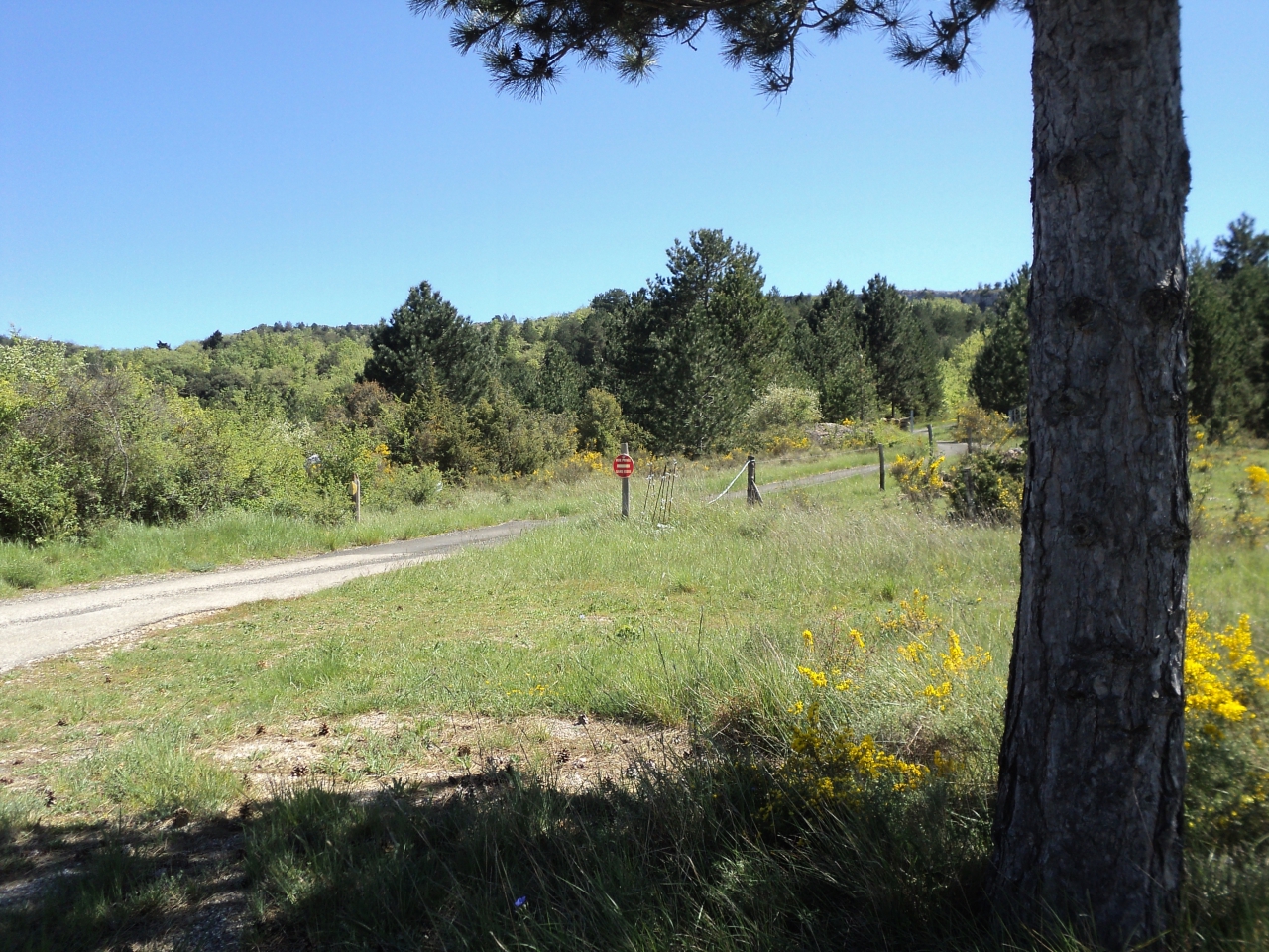
I continued across vineyards and rough ground and could see the timber yard ahead, but it was impossible to continue, as a deep trench had been built all around the timber yard. I would have to find another route there . . . one day I will also try taking the track up to l'Escale, then down again, to pick up the Roman route on the other side. When I got home I thought I would check this in the Carte Archeologique de Gaule reference book and found in fact it WAS the road! The remains of Italique style amphores have been found at l'Escale!
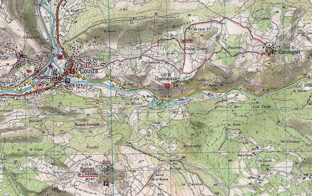
Here is a map if you wish to print it out to follow in my tracks . . .
As I was doing all this on foot, I could not do it all on the same day, so went back on the 3rd May, a very hot day, to find l'Escale, which is actually in the commune of Coustaussa, not Couiza. I found it in the archeology book under Coustaussa. They reported that mosaics had been found, plus remains of amphore and pottery, plus Roman coins from the "Republican and Imperial periods", that is the time of Julius Caesar merging into the time of Augustus, the last fifty years of the last century BC. The ties in with the date quoted for the start of colonisation of the area, 46BC. There was a large number of animal bones near the surface with the remains of kitchen things, implying there was a rubbish tip behind the house which must have been quite important; they didn't make mosaic floors in farm buildings. There must have been a Roman villa here.
So I re-traced my steps towards the old people's home, and by the bench that they often take a walk to is the turning up to l'Escale. Wild flowers were growing everywhere and the road became very steep and the sun got hotter; I had to keep stopping in the shade of trees to get my breath.
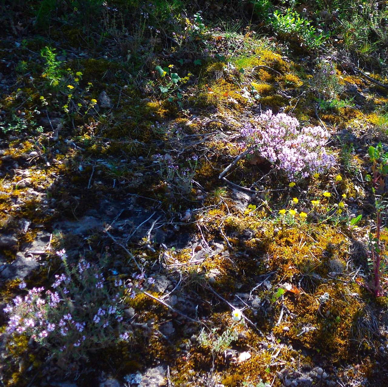
It was more like the wilds of Scotland than France; I found wild flowers that I hadn't seen since I was a girl, and Coustaussa appeared across the valley.

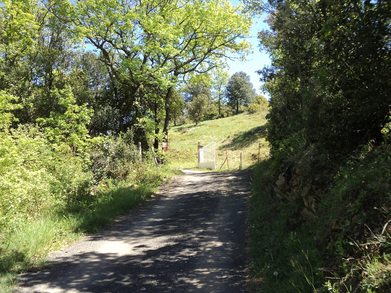
After a mile steeply uphill, I came to the gate of l'Escale and peeped through, but there was a most alarming notice . . . and I took notice.

I was wearing woolly trousers and my winter jacket, the hot day having taken me by surprise, and I was hot, breathless and very thirsty. I was 90% certain everything would be OK but I couldn't make myself take that 10% risk. I was so disappointed but decided discretion was the better part of Valerie and I would do better to return another day. You can see by the picture of Couiza that I took coming down that the mountain really was very steep.
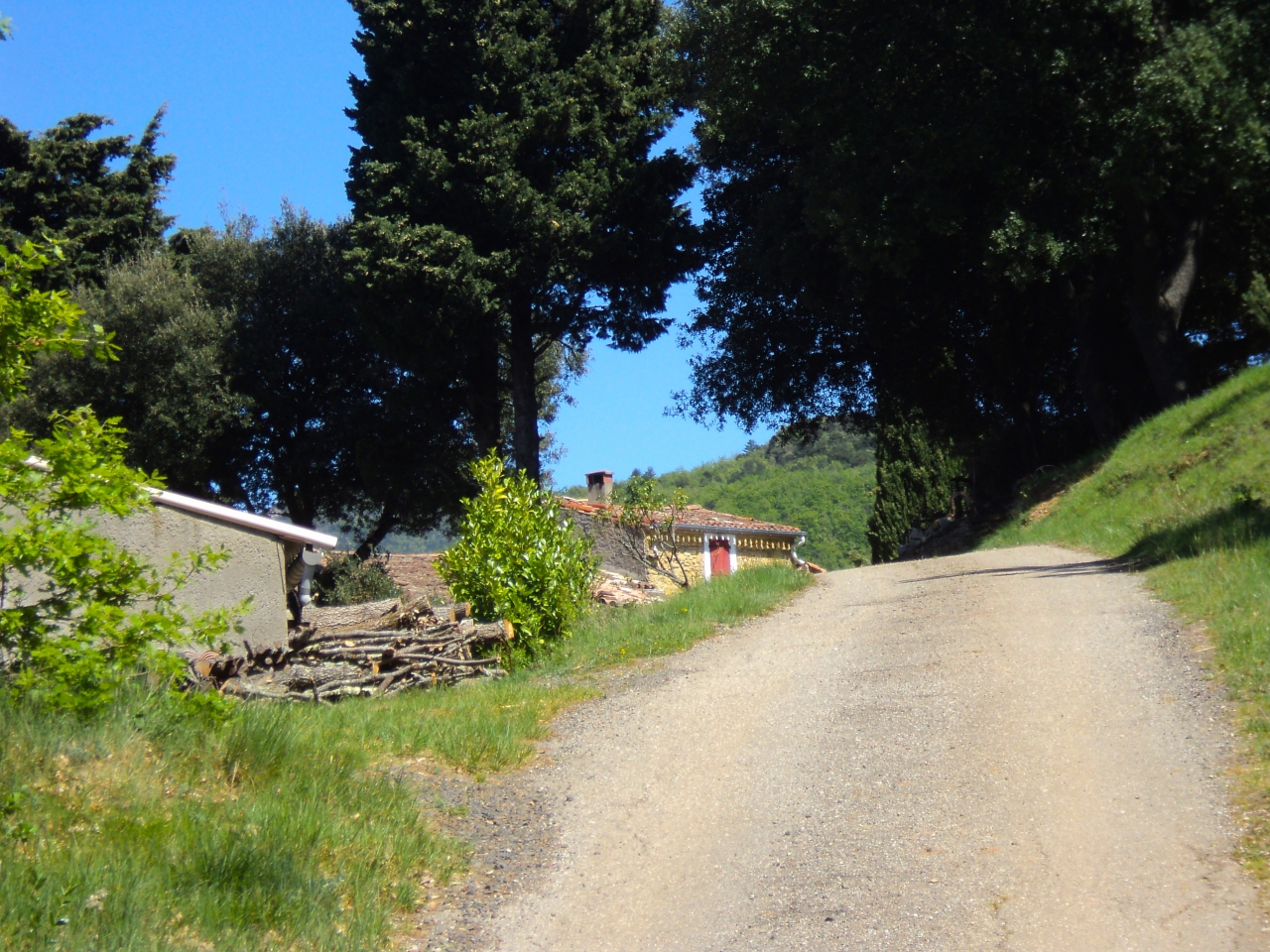
Meanwhile, a few days before, I had set out on the main road to Rennes-les-Bains from Couiza, the D613, to walk, think and observe. The front side of the mill soon came into view.
It is owned half and half by a French family and an English family, I've heard. Just past it, visible across the river, was the old folk's home, and the old millrace beneath it that I had observed in the gorge below.
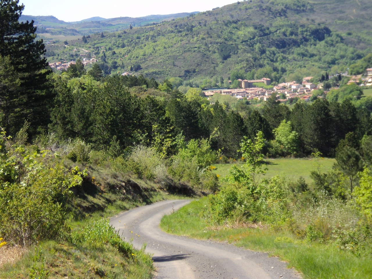
I continued, and the castle of Coustaussa came into view; few people can recognise it from here. The pink tree is a Judas tree, that blossoms every tear at the time of Christi's crucifixion, except that Easter was early this year, the date of my walk was 25th April 2016.

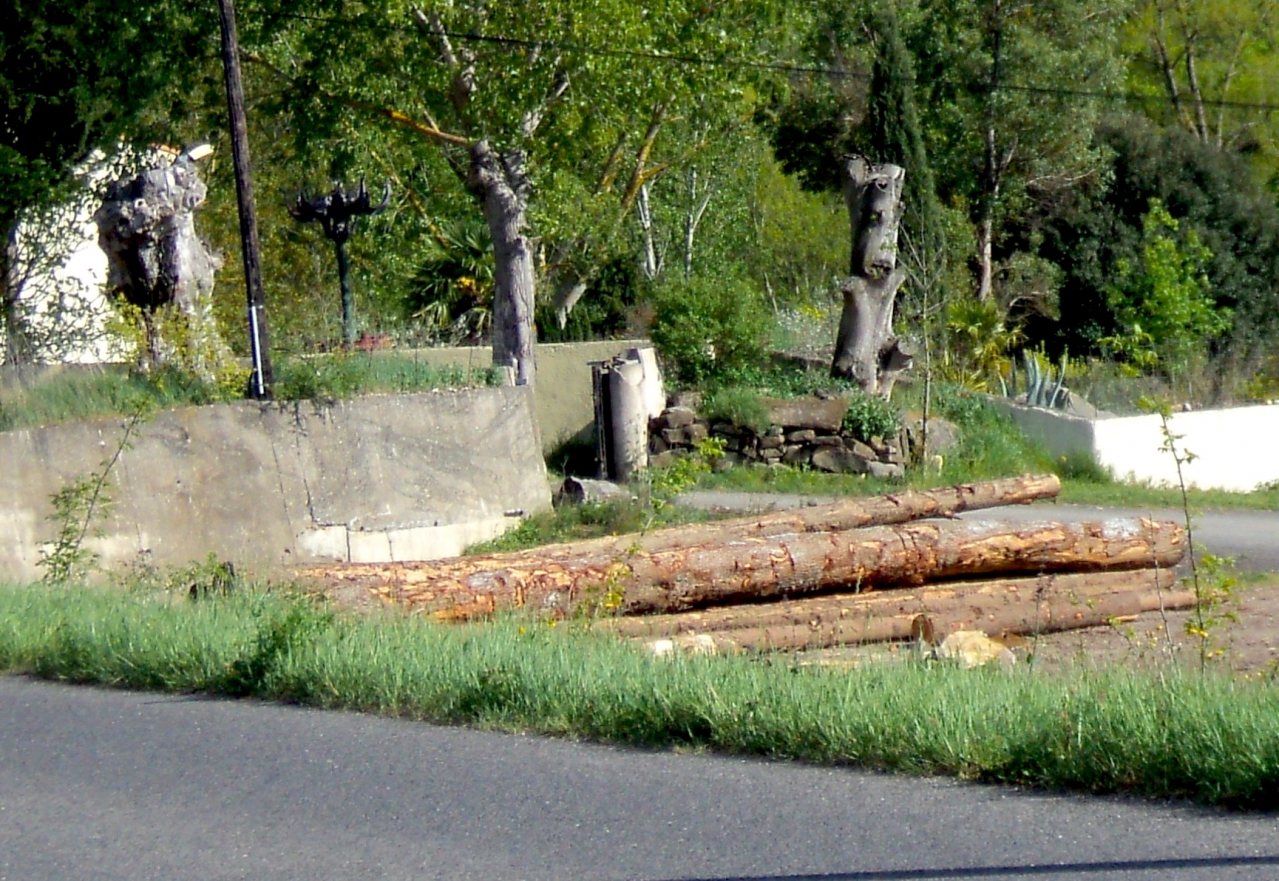
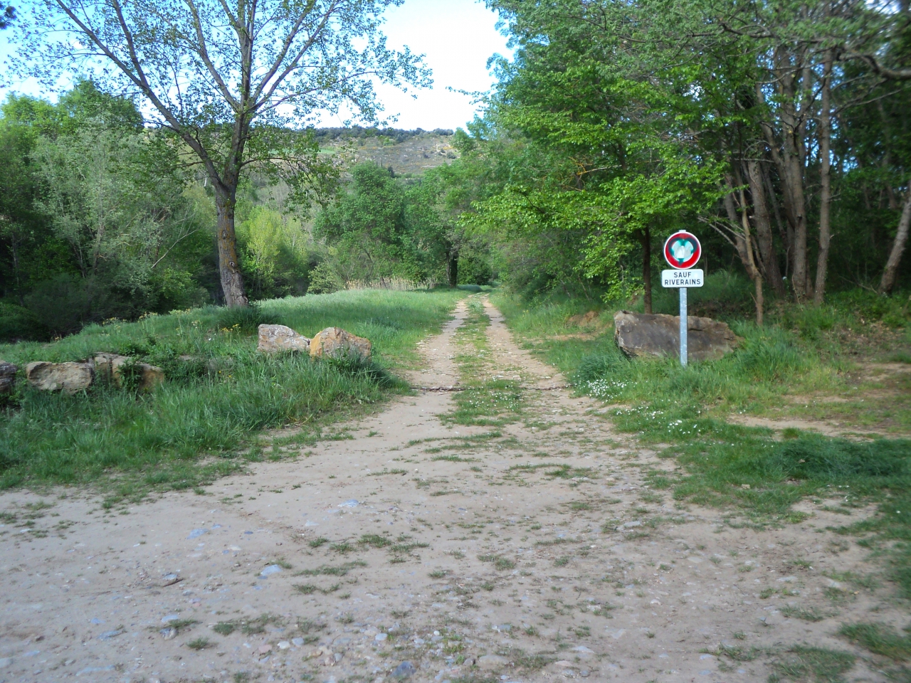
I passed what looked the timber yard on the right, then the slip-road on the left which goes up to Coustaussa village on the left, then came to a turning on the right which descended steeply to the river; and I knew from what the archeologists had said, that I had now joined the Roman road.

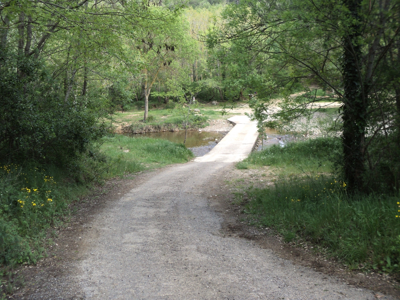
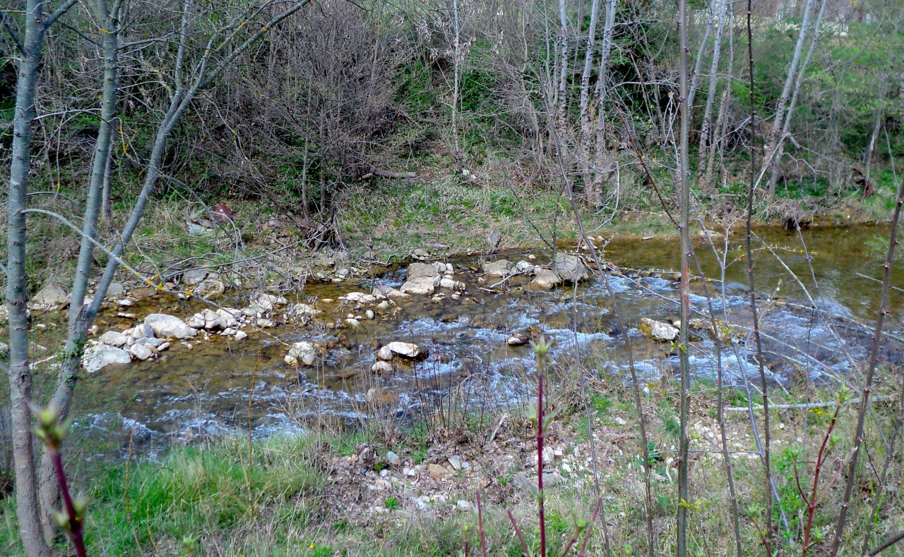
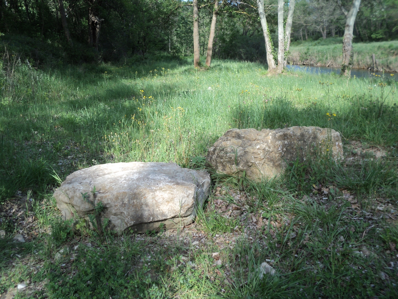
This was a magic place indeed! I would have loved it whether the Romans had been there or not! On the left was a grassy glade, perfect for picnics, and opposite the end of the bridge over the Sals, a circle of incredible stones, built by I knew not who or why.
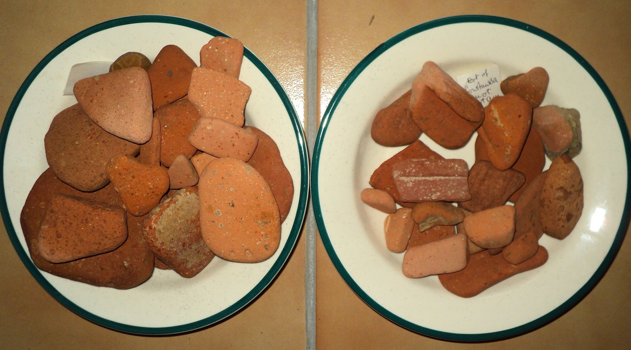
I crossed the bridge . . . the stony part on the right is where I found two bowlfuls of terracotta bits and pieces, many that I could identify as Roman, others that would need an expert to decide. Many of them, of course, could have been swept down the river Sals during the great flood of September 1992, but all the same . . .
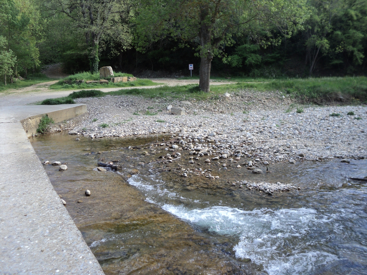 And behind that tree in the centre of the picture was a logger's track that the map tells me leads up to l'Escale so I will be able to go to that place again on another day!
Meanwhile, I then turned turned to the left and there it was, running alongside the river - what was originally a Celtic track that then became a Roman road. As it is still in use it's hard to tell if it was once paved or not.
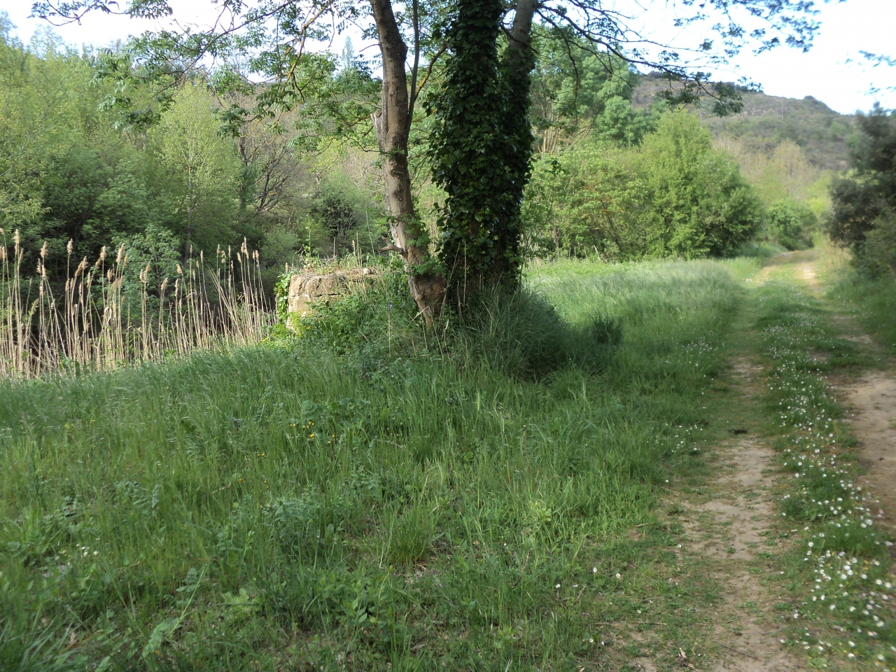
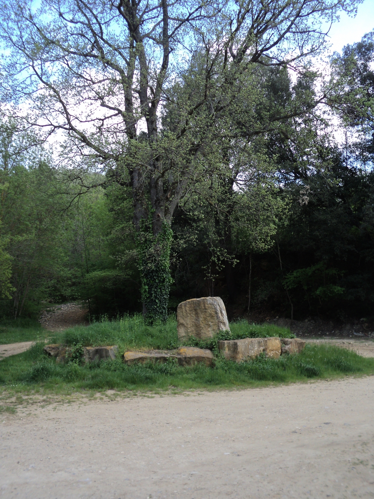
Hello! I spotted a stone construction beside a tree, quite close to the river. This needed investigation . . . It is the remains of a well.
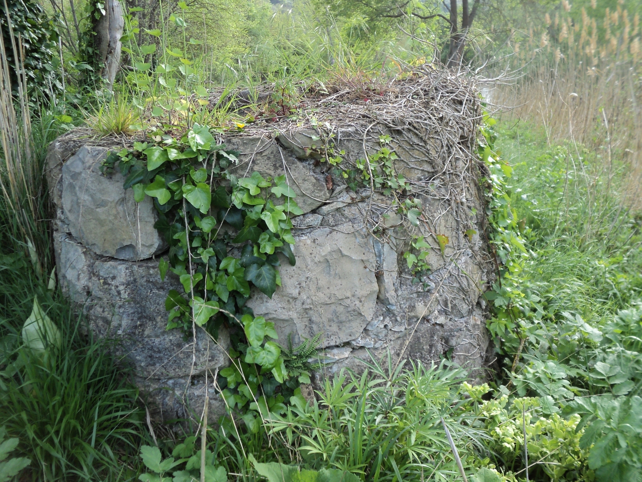
This surprised me, there is no trace of habitations or buildings here, and it has been filled in and blocked. Who on earth would want a well right by a river in ancient days? Ha, I was forgetting, the River Sals is salty and the Romans exploited this salt from Rennes-les-Bains, where there was a Roman watch-tower. The scientists tell us that the salt content decreases rapidly as the river approaches the junction with the Aude in Couiza; but they also tell us that the amount of salt in the river water varies immensely and has done so throughout any history they can trace.
So somebody somewhere in ancient times needed a well right beside the River Sals, and this implies to me that travellers used this road from Couiza to Rennes-les-Bains - Aquae Calidae - which was a famous spa town in Roman days. They would follow the river Sals to take them to Aquae Calidae.
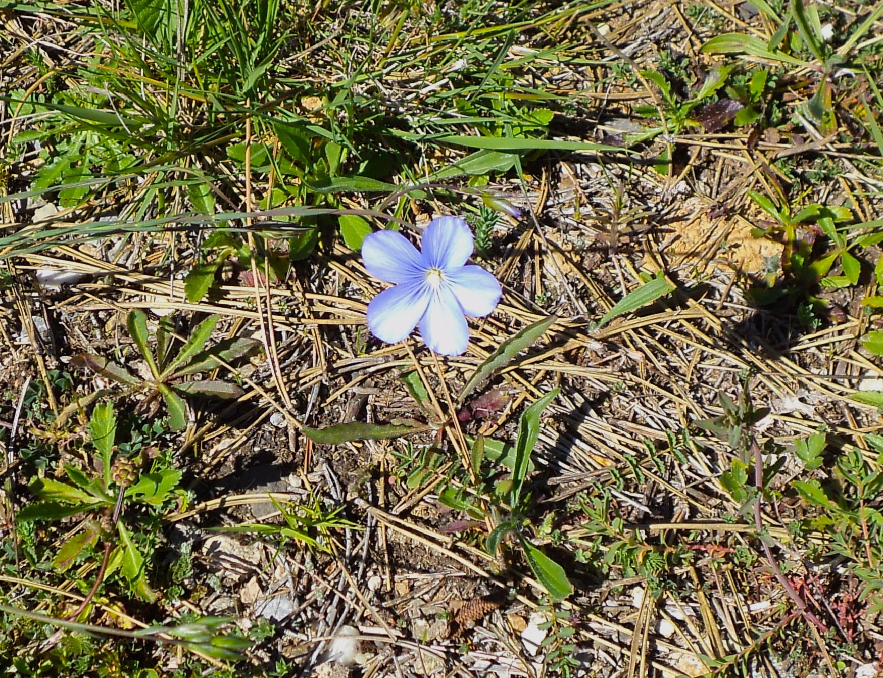
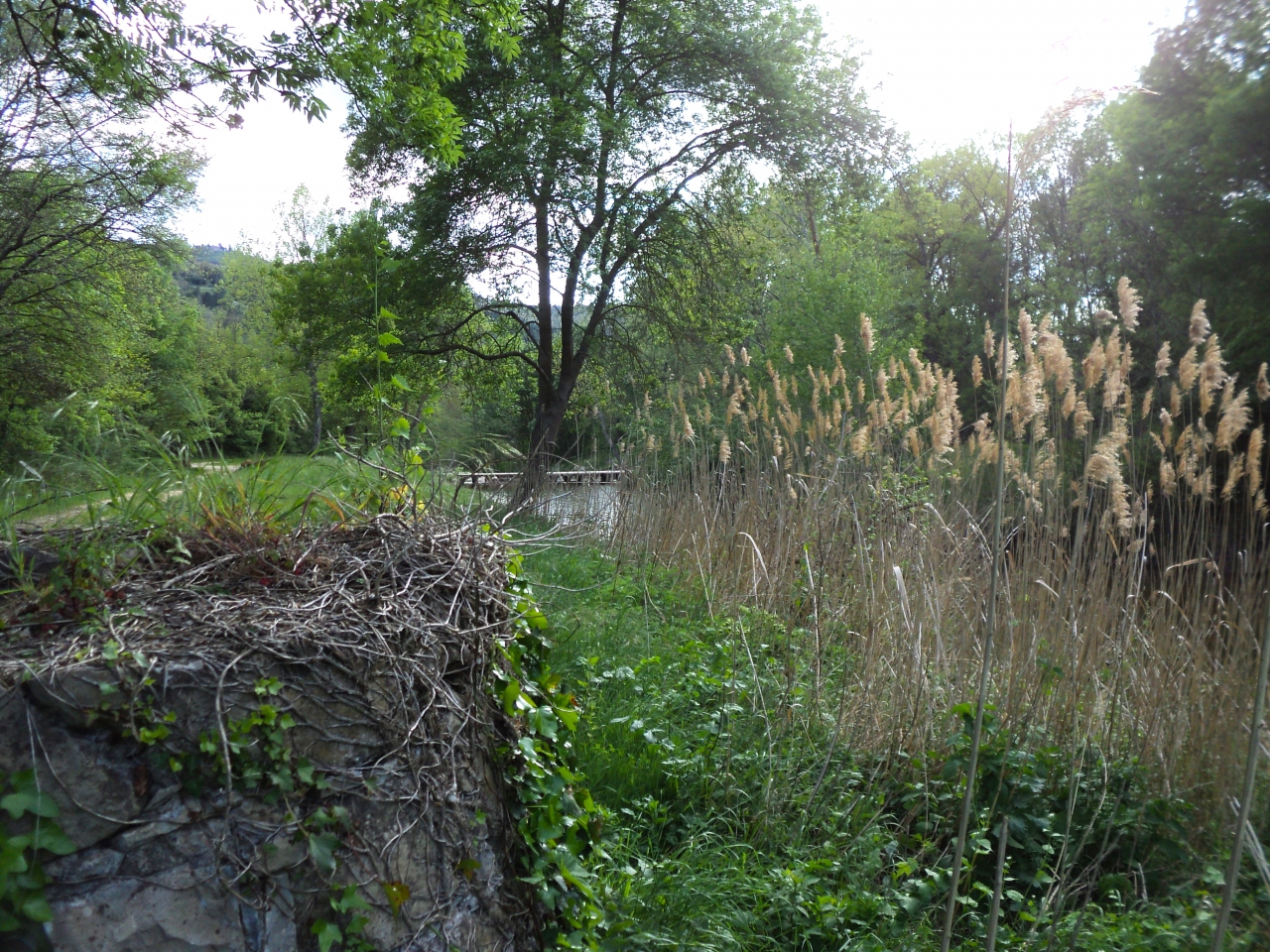
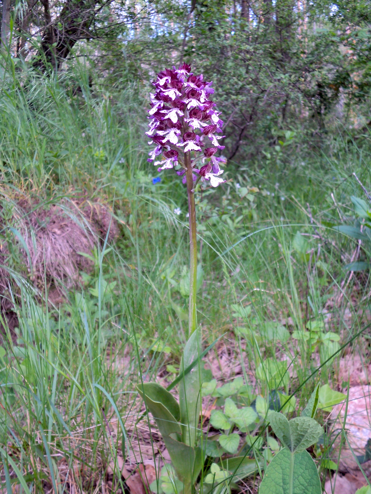
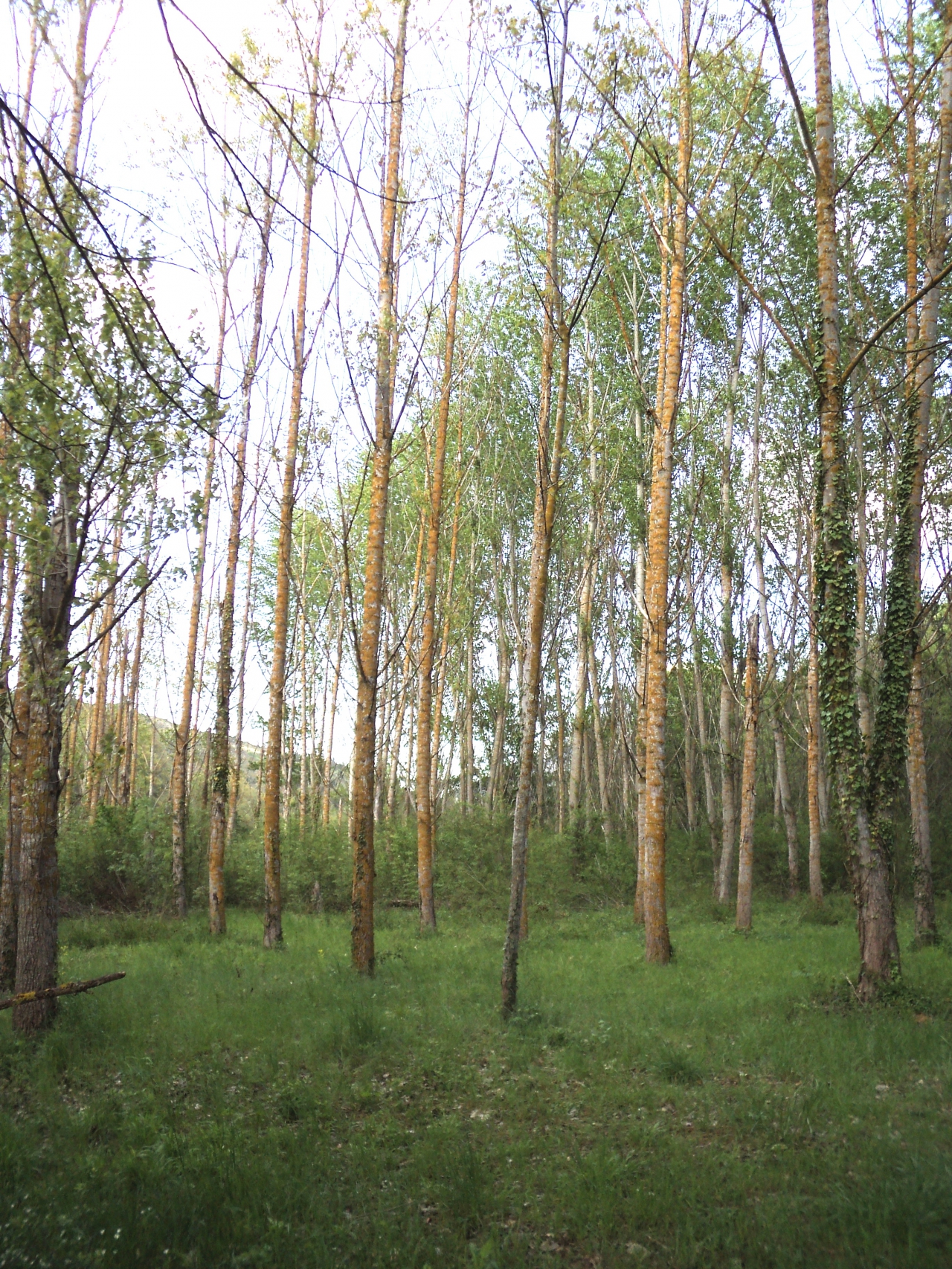
I was very reluctant to leave this beautiful spot. I found a rare wild orchid - which no doubt was there in Roman times - and a mini-plantation of Silver Birch trees, which would not have been.
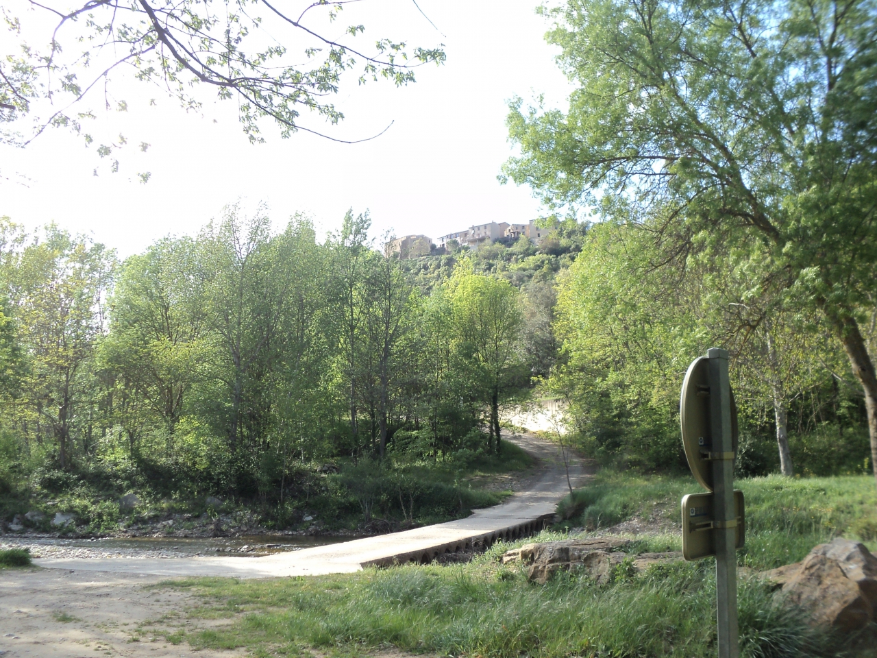
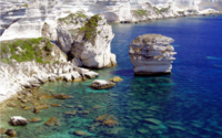
You can see Coustaussa in the distance; the church is on the left. River finds below!
Now all I must do is visit l'Escale again to finish this article!

Inscrivez-vous au blog
Soyez prévenu par email des prochaines mises à jour
Rejoignez les 97 autres membres